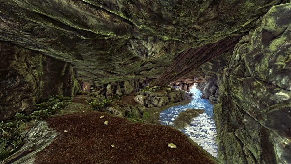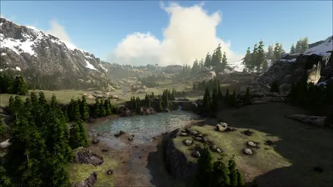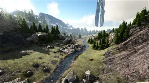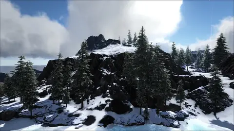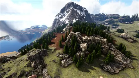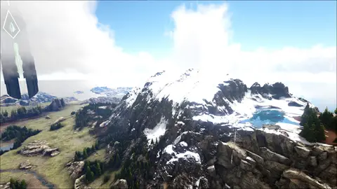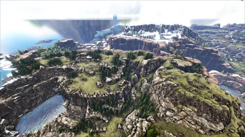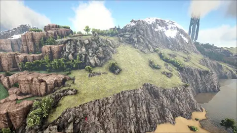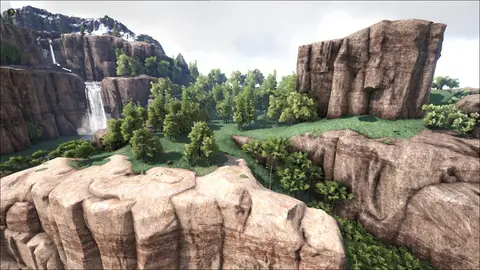
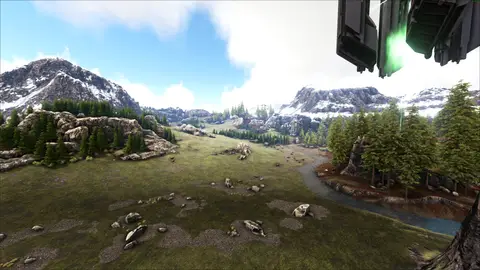
Hidana is a grassland region located in the western section of Ragnarok. To the east and west, Hidana is flanked by two of the major mountainous areas of the map, while pine forests serve as a border between the grasslands and the lower slopes of the mountains. Northern Hidana (or Upper Hidana) increases in elevation until the cliffs drop away into a great canyon known as the Waterwall of the Ancients, although there are paths leading down into this region. Central Hidana is marked by groups of trees scattered in clumps across the landscape. Taosst Creek flows from a lake in the north through this area, forming a shallow lake that is a good source of Coelacanths for food. The stream continues out of the southern edge of the lake, bending southwest as it flows through southern Hidana and then curves past the Green Obelisk. The river rocks in the stream can be a good source of metal, as are the metal nodes found throughout the region (especially close to the mountains). Taosst Creek flows south of Hidana and eventually to the sea in the south.
No tips here yet — be the first survivor to leave one.
Leaving tips is for survivors on the rewards list — reserve your rewards with your e-mail once and the form unlocks everywhere.

 0
0